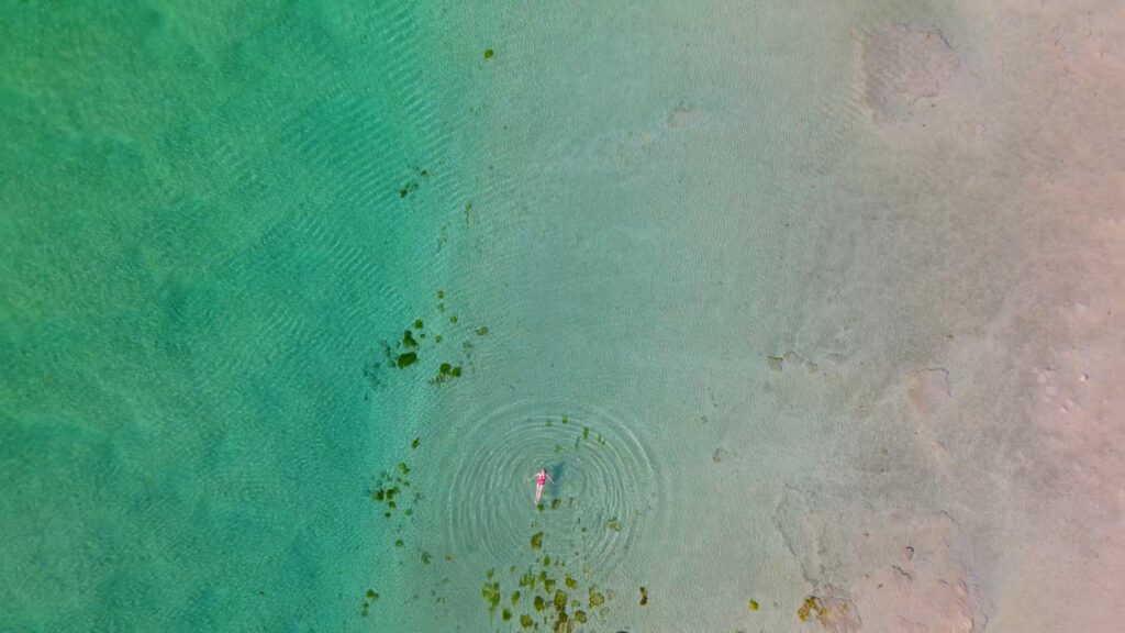
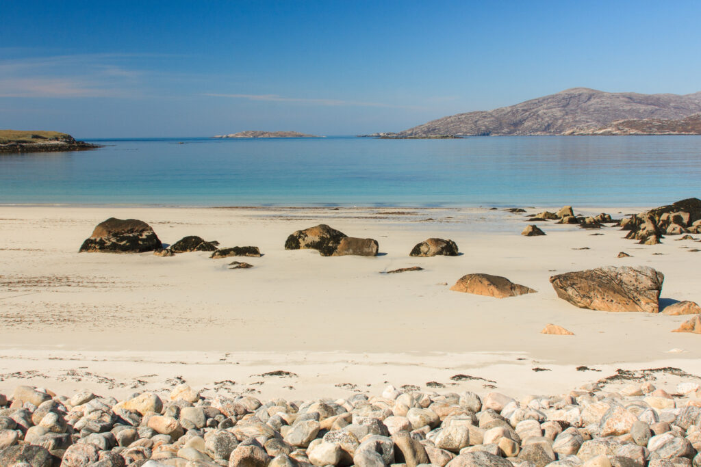
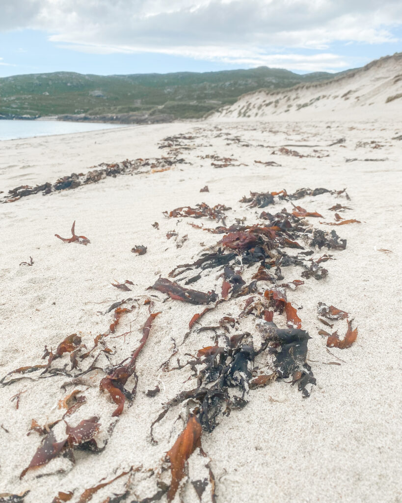
Glittering. Azure. Turquoise. Crystal clear. Aquamarine.
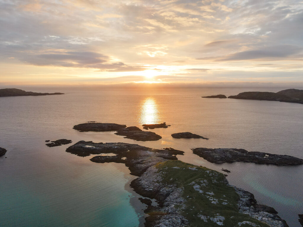
It is almost impossible to do justice to the beauty of Harris and Lewis’ coastline – either in words or photos. You simply have to see it for yourself. And unlike their more celebrated counterparts in the Caribbean or Thailand, in the Outer Hebrides you will often have these spectacular beaches all to yourself.
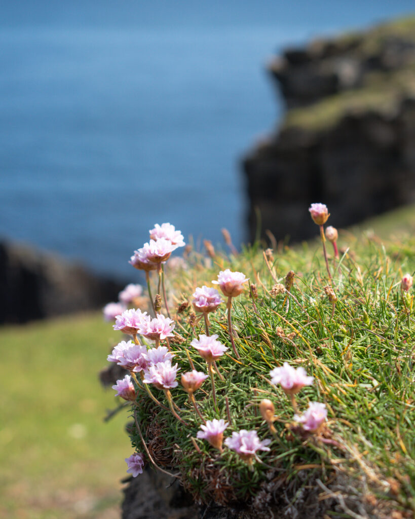
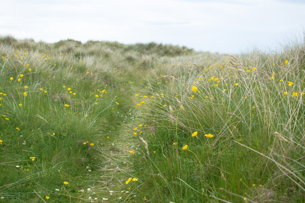
Many of the beaches are fringed by machair – a fertile coastal grassland, which in the summer is carpeted in wildflowers. This unique habitat is found exclusively on the Hebrides and north west Scotland. It is formed when sand blows onto peat, and tiny fragments of seashells add calcium to the acidic soils, resulting in lush fertile strips around the coastline.
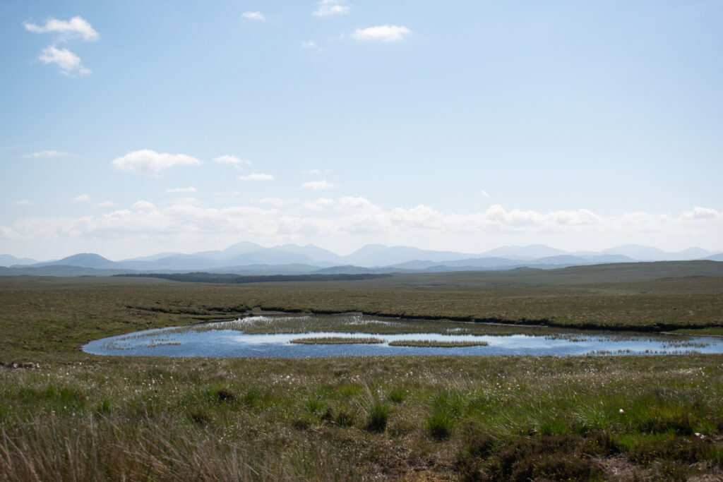
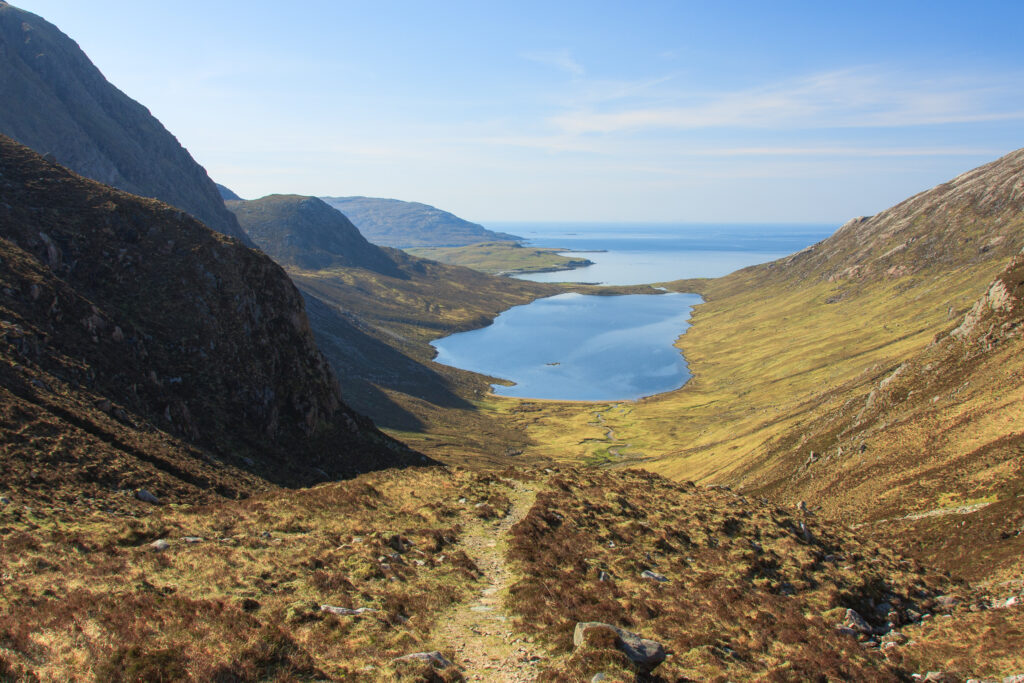
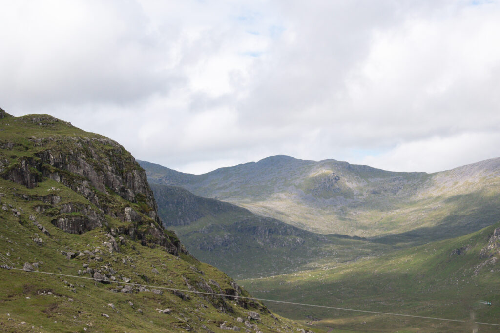
The walking is equally memorable. Compared to the hiker’s paradise of mainland Scotland, the Outer Hebrides are relatively little known as a walking destination. And yet there are some really wonderful, and superbly uncrowded, routes on offer here. This is a selection of my favourite walks, but as ever, the wonderful Walk Highlands has numerous suggestions, route maps and ideas for great days out on the hills.
Have a look at my full guide to the Isles of Harris and Lewis for more to do on your visit.
BEST WALKS ON HARRIS AND LEWIS
BUTT OF LEWIS (LEWIS)
Distance: 3.5 miles/5.5km
Ascent: 116m
Difficulty: Easy
Parking: Butt of Lewis lighthouse; or Eoropie Play Park.
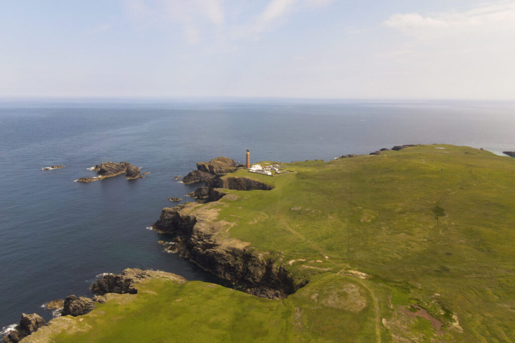
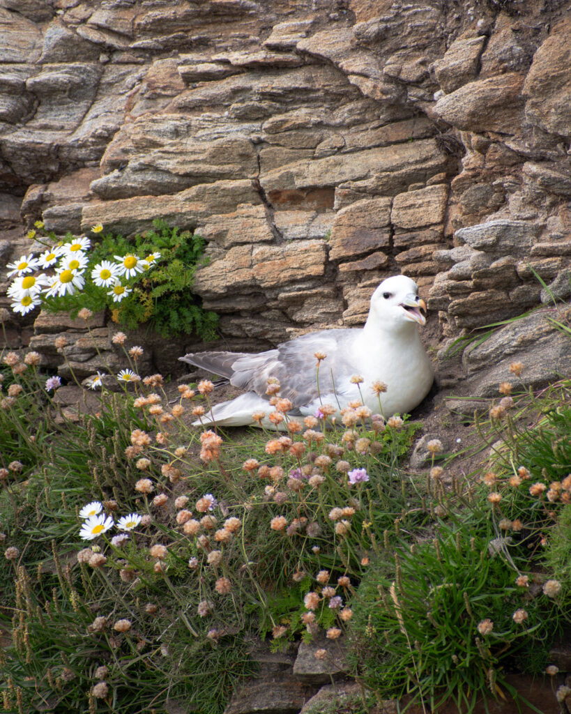
Brilliant, easy, circular walk along the dramatic cliff tops of the most northwesterly tip of Europe. The 80ft cliffs are home to many sea birds, making it a very popular spot for birdwatchers. There is also a lovely white sand beach at Eoropie if you want to stop for a picnic, or a quick dip. There are also a few sheltered coves, wonderful for swimming on a calm day, to the east of the lighthouse, including Port Stoth.
Visit Outer Hebrides have a short leaflet with a route map and information on the sights you will see along the way. They suggest starting at finishing at the Eoropie Play Park, where there is a car park, but as it was a quiet day we instead parked up at the Butt of Lewis lighthouse and did the walk from there.
Be careful not to get too close to the cliff edges as the ground is prone to collapse. This is also said to be the windiest spot in the UK, so on a very blustery day be sure to stay well back!
LEWIS WEST SIDE COASTAL WALK (LEWIS)
Distance: 11.75 miles/18.75km
Ascent: 528m
Difficulty: Moderate (but can easily be shortened)
Parking: Na Gearrrannan (Garenin) Blackhouse village car park; or Bragar Village.
This one way route follows the dramatic coastline between An Gearrannan and Bragar. The route is well marked, although the path is not always well defined and can be rough in places. The route is never too far from a road end, so you could easily cut the walk short in poor weather or make it a shorter day out if you don’t fancy the full 11.75 miles. However, if you are looking for a shorter and/or easier walk, I would actually recommend the Butt of Lewis instead (above).
The Westside Circular bus route serves both ends, and has numerous stops in between. To avoid any time pressures, I recommend parking at one end and then getting the bus to the other end, to do the walk back to your car.
If you plan to visit the Gearrrannan Blackhouse Village as part of your walk, have a look at my full guide to the isles of Harris and Lewis for more information.
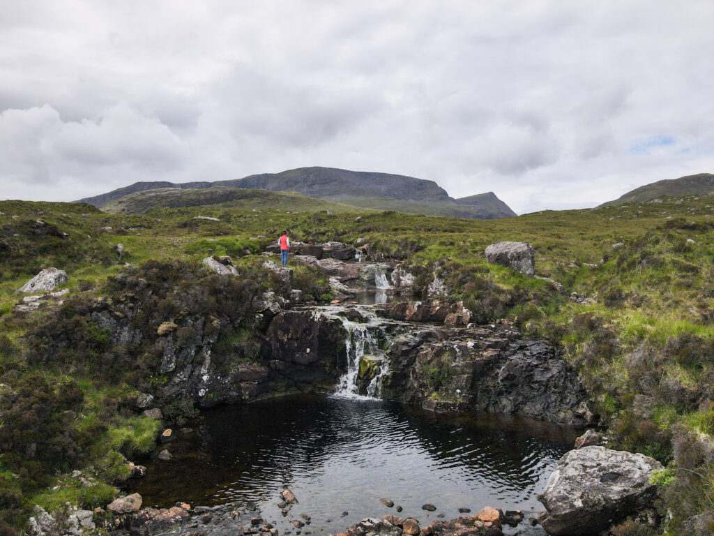
CRABHADAIL (HARRIS)
Distance: 5 miles/8km
Ascent: 296m
Difficulty: Easy
Parking: Huisinis
Relatively short but mighty! This is one of the best walks I have done in Scotland. The remote location of Crabhadail beach means that you’re unlikely to be sharing the sand with many others, despite it being one of the most beautiful in the UK. The first few kms are on a clear path, after that you will be walking through coastal meadows until you get down to the beach.
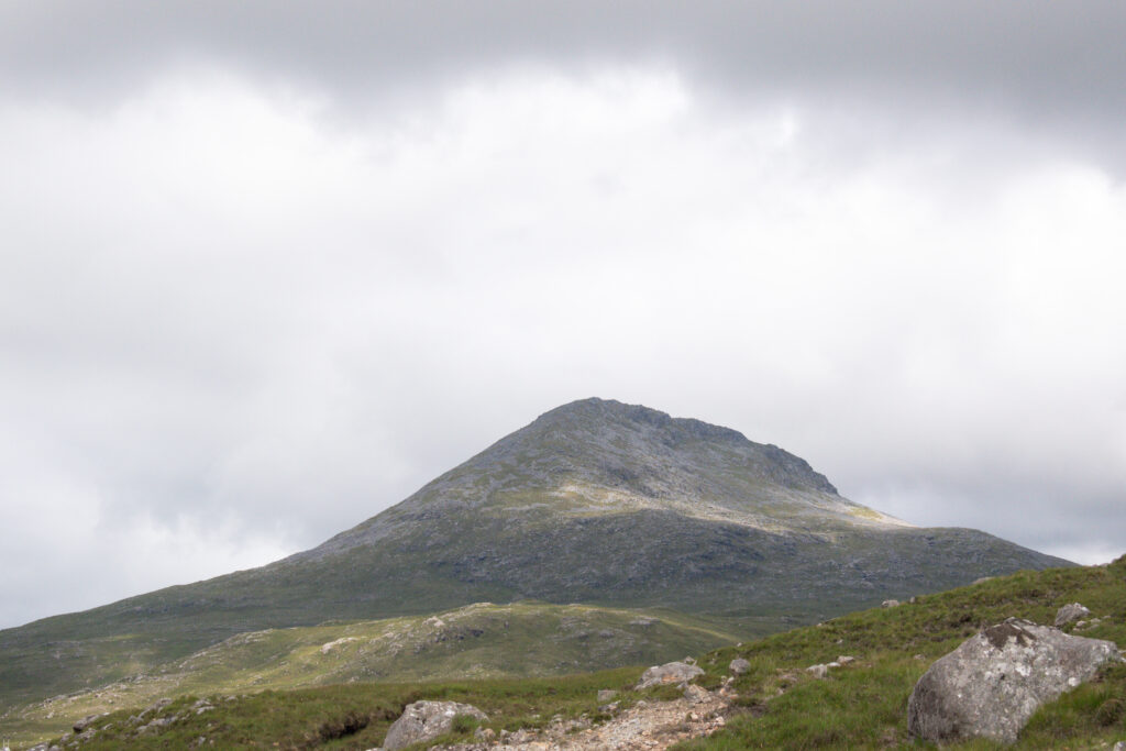
BEINN DHUBH (HARRIS)
Distance: 7.25 miles/11.5km
Ascent: 475m
Difficulty: Moderate
Parking: Exit the A859 towards Luskentyre: room for a few cars on the left side
This circular walk follows a minor road for a short while, before moving onto rougher ground with no defined path. However, it is not too difficult underfoot – just be sure to wear proper boots as the start can be a bit wet and the rest rocky – and for a relatively short hillwalk, the views are sensational. Despite the lack of path, the route remains relatively easy to follow throughout. If you want to avoid the road walking, it is possible to walk along the beach at low tide, but be sure to stay close to the shore given the areas of quicksand. Even if you don’t do the whole walk, I suggest at least the start of it. The views over the Sound of Taransay and Seilebost beach at the start of this hike are magical.
AN CLISHAM (HARRIS)
Distance: 3.25 miles / 5.25km
Ascent: 629m
Difficulty: Challenging
Parking: Clisham Car Park on the A859.
The Western Isles’ highest point at 799 metres (making it a Corbett). It is a fairly challenging climb, with areas of very loose rocks and pathless terrain. It is probably one best saved for those with greater hiking experience. The initial ascent is clearly marked, and runs steeply away from the carpark to the north east of the road. On a clear day, the views from the top stretch across the entire island and beyond.
You can return the same way you went up (route map), or extend your day by completely the horseshoe ridge covering four additional peaks. If going out on the return, there-and-back hike, allow yourself around four hours to complete the walk. The horseshoe route is 8.75 miles/14km, with 1,016m of ascent. In addition to the summit of An Clisham, it also takes in the ridges of Mulla-Fo-Thuath and Mulla-Fo-Dheas with their fantastic views. This is a full and challenging day out – allow yourself around 8 hours.
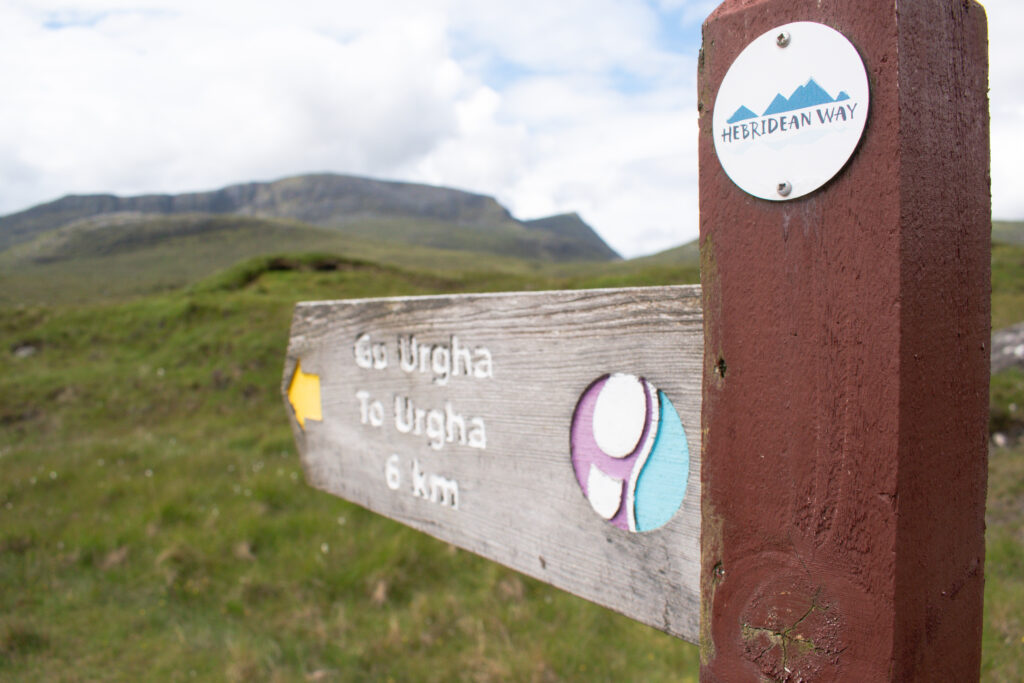
POSTMAN’S WALK (HARRIS)
Distance: 3.5 miles/5.75km
Ascent: 456m
Difficulty: Moderate
Parking: Parking area on Tarbert-Scalpay road, just east of Lochanan Lascadail
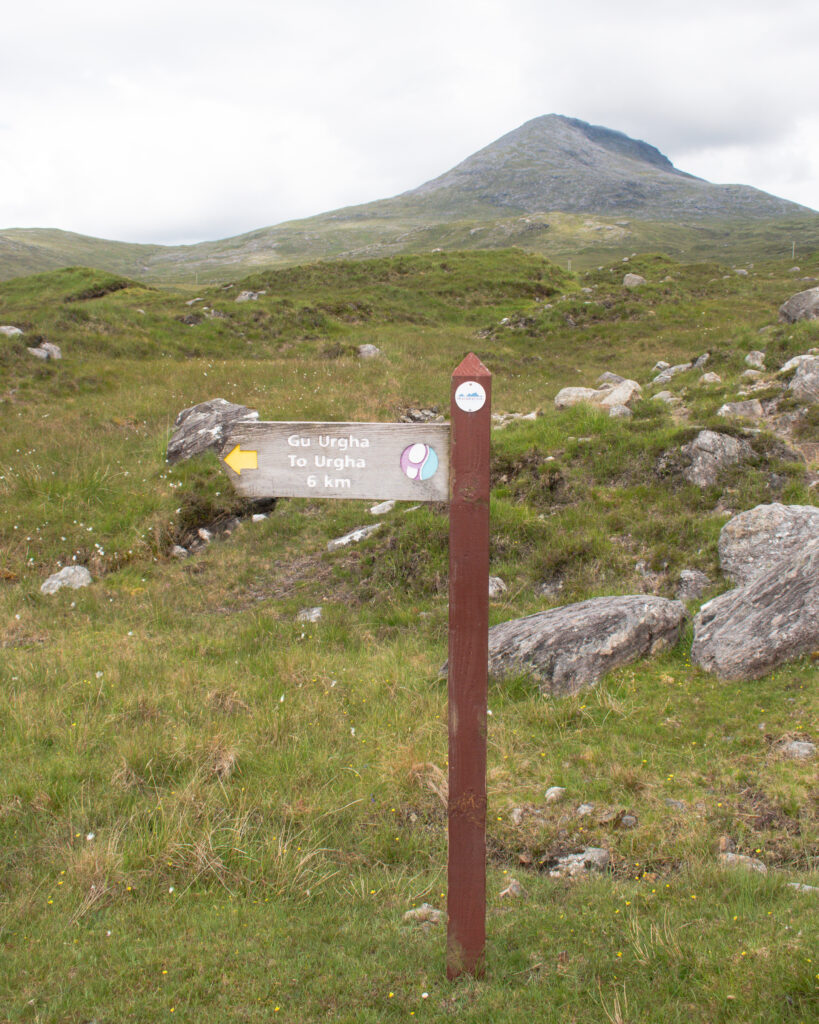
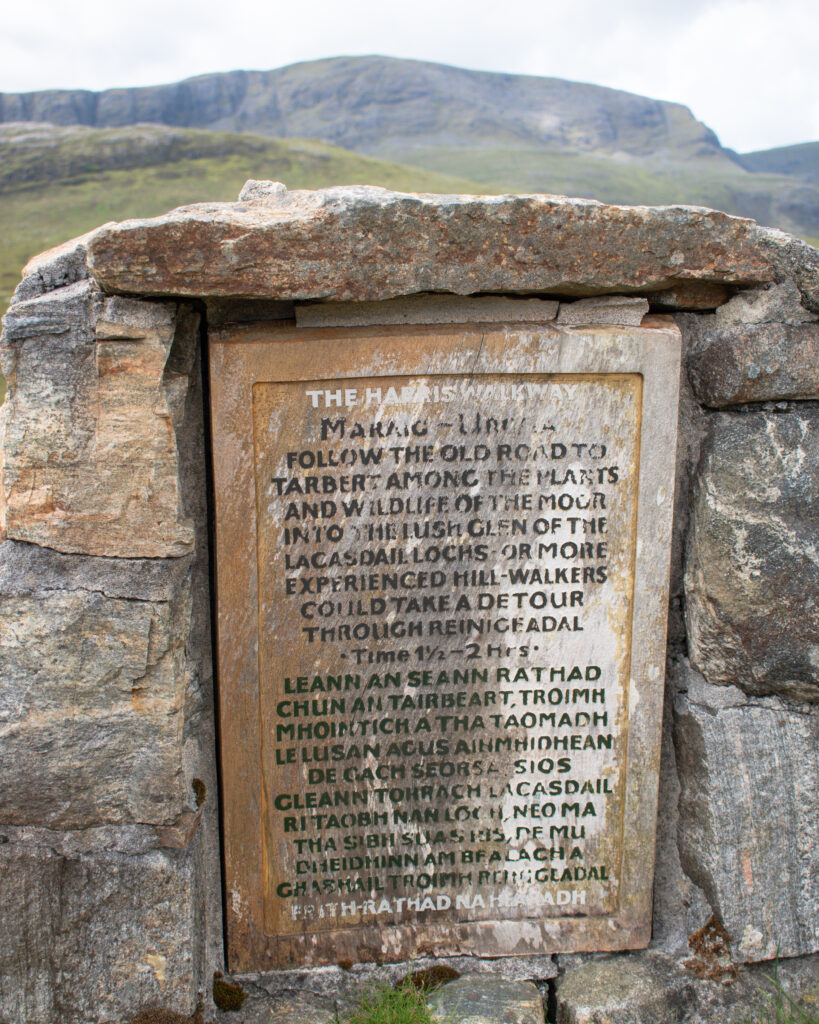
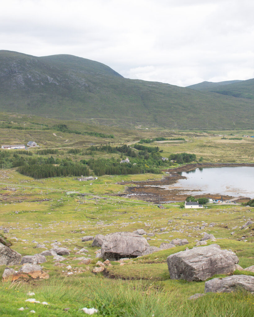
More properly known as the route between Rhenigidale and Urgha, this is one of my favourite walks on the islands. Until 1990, this was the only means of getting supplies to the remote villages in this corner of the island, and it was the job of one man to walk the 10km route three times a week. Thus the name this walk is most commonly known by – The Postman’s Walk – emerged.
The walk is well marked, and other than a serios of very step zigzags with some erosion on either side, it is a straightforward route. Visit Outer Hebrides have a short leaflet with a route map and information on the sights you will see along the way.
This is a one way, linear route so you will need to check local bus times to return to your car at the end of the day. If you wish to make it a circular route, it adds about an additional 8 miles onto the distance (unless you simply retrace your steps). There is a hostel in Rhenigidale, with camping permitted in the hostel grounds. Overnight parking is permitted in the small parking and picnic areas, at the start of the path in Urgha, Maraig, and Rhenigidale.
HEBRIDEAN WAY
Distance: 156 miles/252km
Difficulty: Challenging
Opened in May 2017, the 156 mile route from Vatersay in the south of the Outer Hebrides, to Lewis in the north, is one of the UK’s newest long distance hiking trails. In total, It covers 10 islands: Vatersay, Barra, Eriskay, South Uist, Benbecula, Grimsay, North Uist, Berneray, Harris and Lewis. In addition to the walkers, there is also a 184 mile cycling route.
Clearly the time taken to walk the entire route depends on your fitness and how much you want to do along the way, but 12 days is a good amount of time to enjoy the route and the islands along the way, including a rest day in the middle. Visit Outer Hebrides have broken the route down into twelve sections, with useful information on each. They also have a short leaflet with highlighting sights along the way, and a quick summary of the various sections. It is most common to walk from south to north, as the prevailing wind blows in a northerly direction (although it seems to me that more often than not when the wind blows in the Hebrides, it blows in all directions!).
Although long, the Hebridean Way is one of the easier long distance hikes on offer in Britain. The route is relatively flat and easy to follow. Look out for the little white disks with the Hebridean Way logo to ensure you are on the right track – just be aware that these get fewer and fewer the further north you go. Unfortunately, there are a fair few sections of road walking – one of my least favourite things as my poor shins can’t take it – so you might want to plan alternative routes, or jump on a local bus for a few sections to skip this.
Cicerone have a small guidebook dedicated to the Hebridean Way offering information on the terrain, and suggestions for breaking down your itinerary.
Have a look at my guides to Hadrian’s Wall and the Cotswolds if you are interested in exploring more of the UK’s long distance walks.
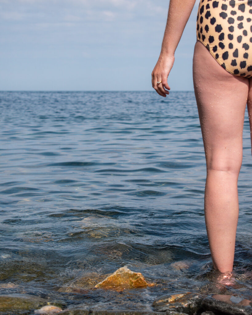
BEST BEACHES AND WILD SWIMS
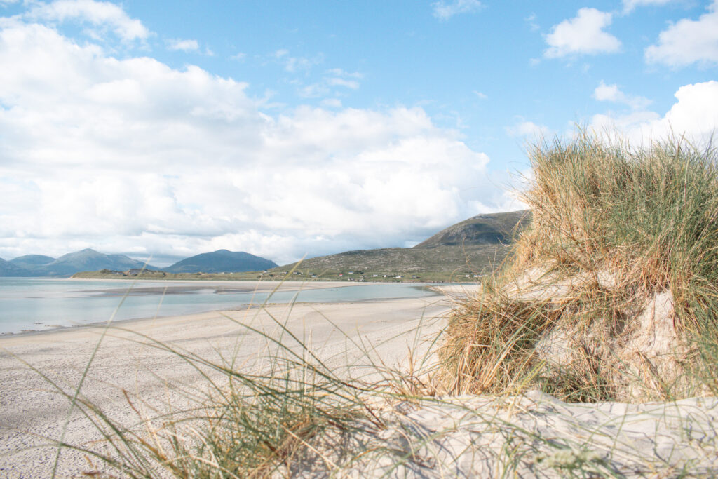
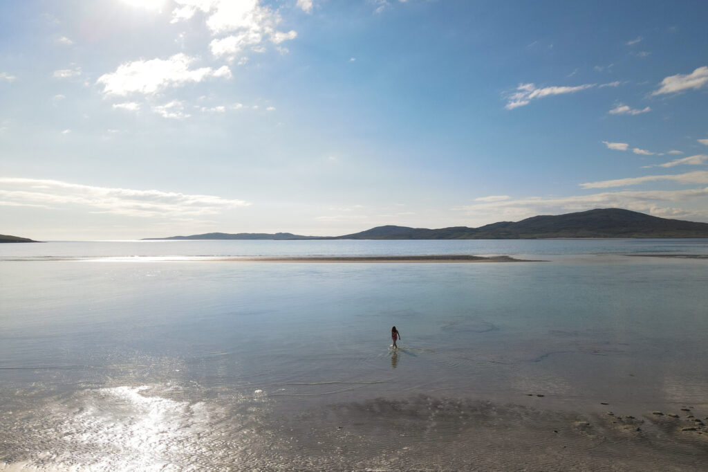
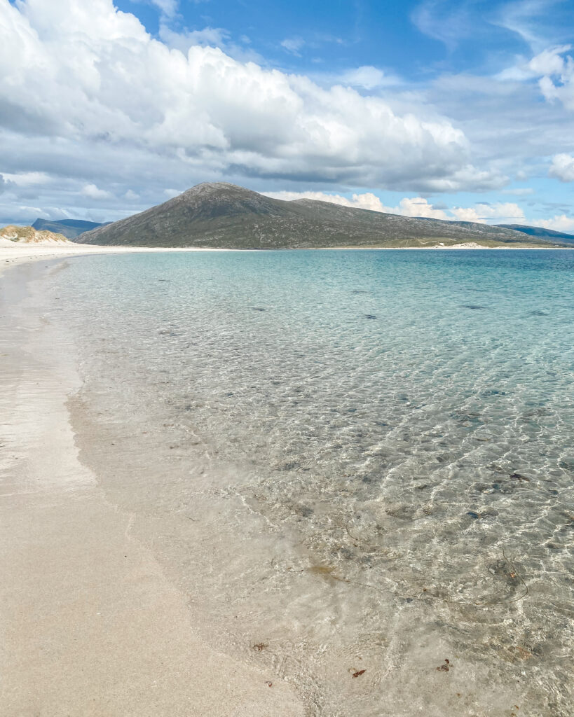
Luskentyre (Harris) – possibly the most famous beach in Scotland! Miles of pure white sand and aquamarine waters. It is jaw droppingly beautiful. The beach is divided into two – Traigh Losgaintir (the expanse of more southern sands) and Traigh Rosamol (the northernmost part). The setting is just as beautiful as the beach. The summit of Beinn Dhubh looks over the beach to the east, and Taransay is across the water. There is a spacious car park and toilets, before a short walk through grassy dunes brings you to the beach.
Seliebost (Harris) – to the south of Luskentyre, this stretch of sand was once voted one of the top ten beaches in the world. There is a short walk through dunes to access the beach. It is tempting to walk out for a long on the white sands at low tide, but proceed with caution as there are patches of quicksand.
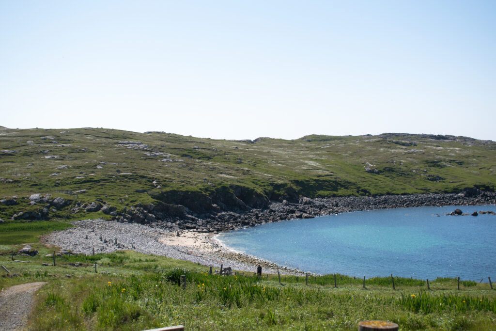
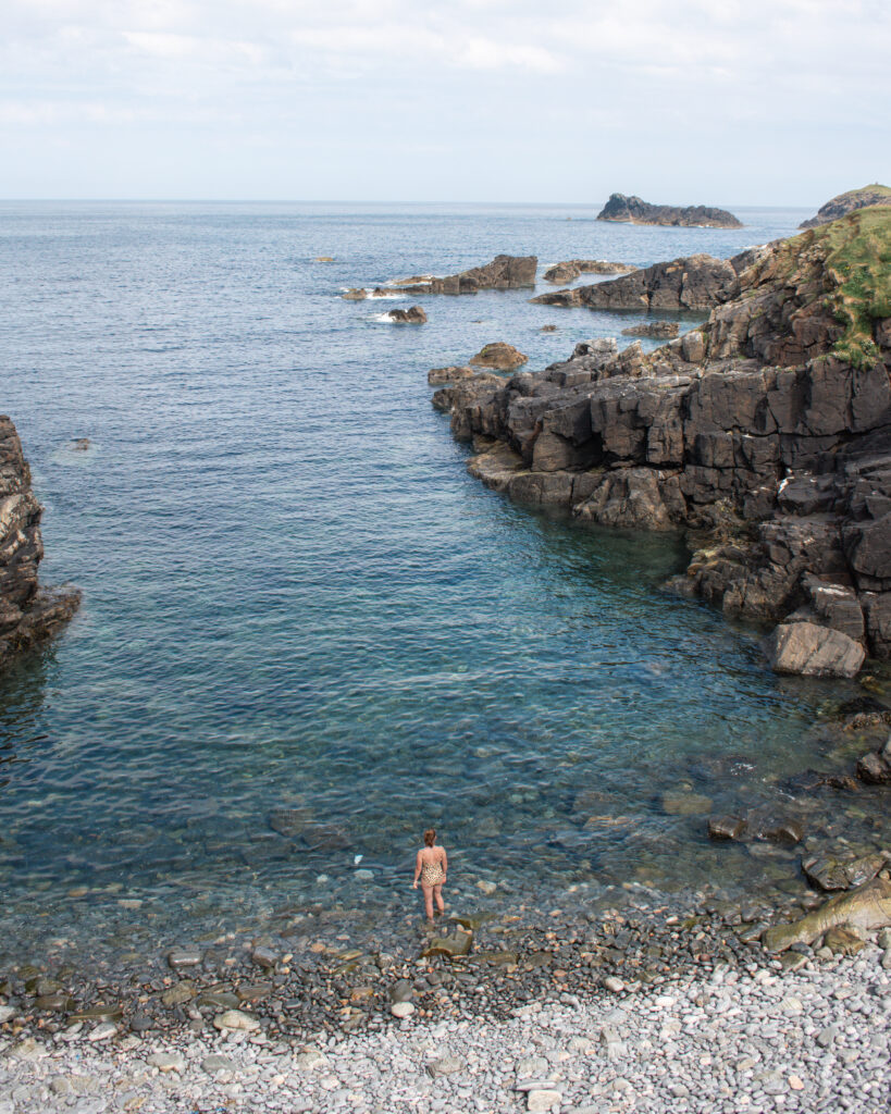
Crabhadail (Harris) – the remote location means that you’re unlikely to be sharing the sand with many others, despite it being one of the most beautiful in the UK. Park at Huisinis (another lovely, but slightly busier option) and follow the walk detailed above to access the beach.
Uig (Lewis) – incredible expanse of sand, which goes on for miles when the tide is out. It was here in 1831 that the 78-piece Uig Chessmen were discovered.

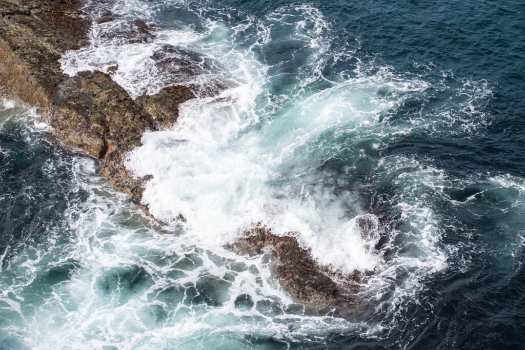
Mangersta Sea Stacks and Beach (Lewis) – spectacular and dramatic stretch of wild coastline. On a windy day the power of the sea is humbling to watch – just take considerable care near the edge. The walk down to the beach is fairly steep, meaning it very rarely gets busy. A visit to the sea stacks is even better when combined with a night in the wonderful Mangersta Bothy. It is one of Scotland’s most unique, and dramatic, bothies. Built into the side of the Mangersta cliffs by John and Lorna Norgrove, it is a traditional bothy with no running water, toilet or electricity. There is no cost to stay at the bothy, but guests are asked to make a donation to the Linda Norgrove Foundation, set up in honour of John and Lorna’s daughter Linda, who was killed whilst working in Afghanistan as an aid worker. Requests for bookings are made online.
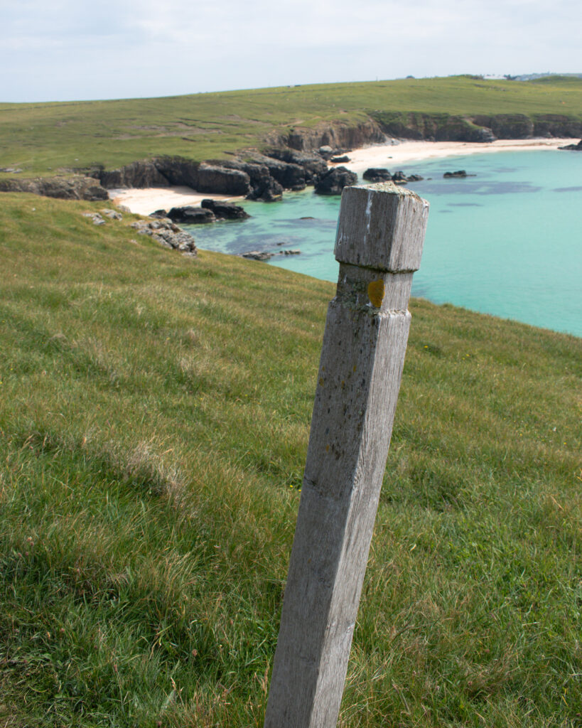
Stoth Beach (Lewis) – a bit of a hidden gem in the far north of Lewis. Even on a rough day, the steep cliffs keep it fairy sheltered so it can offer a brief respite from the weather whilst you walk around the Butt of Lewis. Expect to spot a few seals and lots of seabirds.
WATERY EXCURSIONS
GET OUT ON THE WATER
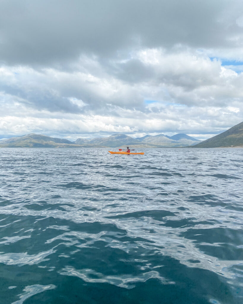
If you want to get a bit more up close and personal with the Hebridean sea life, there are multiple options for sea kayaking trips. The Isle of Harris in particular is an incredible place for kayaking – crystal clear waters, white sandy beaches and an abundance of wildlife. One very memorable sunny day, we hired kayaks to take a trip over to Taransay, an uninhabited island just off the west coast of Harris. British readers might recognise it as the location for the TV series Castaway, which saw a group of thirty-six men, women, and children attempt to build a self sufficient community and live on the island for a year in 2000. We saw countless seals up close, otters and even some jellyfish. The isle of Taransay itself is well worth a visit – the peace and solitude it offers is glorious, with spectacular white sandy beaches and beautiful views back across the water to the peaks of Harris.
On a calm, sunny day the 2 mile/3km kayak over to Taransay was straightforward for me as a fairly inexperienced kayaker, but be aware that this is open, tidal sea and conditions can always change. Booking with one of the islands tour operators will ensure that they can offer you a trip within your own group’s abilities. I recommend checking out Wild Harris – they offer half day (£55 per person) and full day trips £80 per person, with no more than five people per outing.
GET INTO THE WATER
If you have never been wild swimming, or are not so confident swimming in the seas in the far north of Scotland there is a super wee organisation based in the Western Isles that can help you find your sea legs. Immerse Hebrides organise guided swimming trips for all levels, and weekly social swims on Saturdays. A 30-45 minute beginners experience costs £50, including wetsuit and flotation aid, and more advanced 2 hour sessions start at £40.
Have a look at my full guide to exploring the Isles of Harris and Lewis for more things to do on your visit. My other guides to Scotland and the wider UK have lots of inspiration for more British travels. Alternatively, if you are keen to find more ideas for hiking, swimming and outdoors trips, have a look at my adventure series.


Leave a Reply